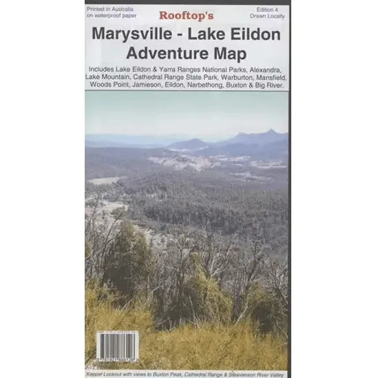
Marysville - Lake Eildon Adventure Map
Discover the captivating landscapes of Victoria’s High Country with the Rooftop Maps ‘Marysville - Lake Eildon Adventure Map’, proudly supported by Hema Maps. This double-sided map is your gateway to outdoor adventure, covering key destinations such as Lake Eildon, the Yarra Ranges National Parks, Murrindindi, Mansfield, Alexandra, Marysville, Woods Point, Lake Mountain, and the Cathedral Ranges and Jamieson.
Known for precision and reliability, Rooftop Maps and Hema Maps are trusted by outdoor enthusiasts across Australia. This map ensures you have the most accurate information to explore confidently and enjoy the stunning diversity of this remarkable region.
Features
- Detailed 4WD tracks
- National parks for exploration
- Comprehensive camping area information
- GPS-surveyed roads and tracks
- Printed on durable, waterproof paper
Specifications
- Edition: 4th
- Publication Date: 01/01/09
- Scale: 1:100,000
- Folded Size (WxHxD): 135mm x 245mm x 4mm
- Flat Size (WxH): 700mm x 1000mm
- Weight: 0.09kgs


 - 30 Litre Each")


")

 - TRA368R")
")
